
About 19.6 miles with perhaps around 1700 feet of elevation gain.
Route 3, Danforth Road, Prospect Mtn Trail, Ramblewood Link, Covell Mtn Trail, Round Pond Brook Trail, Bog Bridge Trail, Magalloway Road, Route 3, Falls in the River Trail, Idlewilde Spur Trail, R&J Chaput Trail, Lower Black Cat, Middle Black Cat, Upper Black Cat, Sophie's Lane, Route 3
Our next to last day!
We left our cabin around 6am, turned right (left if you are coming from Young's Store), walked a tenth of a mile along Route 3, and turned right onto Danforth Road.


One walks this road for about 1.4 miles before turning onto a normal trail. Use the map combined with the Databook to make sure you are on the right track, for the blazes are sparse. The map clearly shows you should walk right at this intersection...


...and then again at a next one, but when one comes to a junction up high, underneath what looks like two private residences, one in both available directions, turn left, walk just a bit up the hill, and look in the woods to your right. You should see this....

That intersection isn't well described in the Databook and it isn't marked clearly on the map.
Once on the wooded trail, it feels like normal hiking trail (albeit it a bit overgrown), and it's a moderate 0.6 mile walk up to the summit of Prospect Mountain.


View from Prospect Mountain --

From here, follow the Databook and the yellow blazes down Prospect Mountain and up to Covell Mountain (all moderate grades and no serious climbing)...


Just before reaching Covell Mountain's summit, we ran into a solo southbounder named Jessica. She gave us some tips on an upcoming logged section of trail which we later used and appreciated (thanks, Jessica!).
The view from Covell Mountain...


From here it was a straightforward hike to Neil Tillotson Hut (just follow the yellow blazes).
On the way, the girls stopped to discuss life on Conversation Rock...


The Hut!


As you can see, this is not really a hut -- it's a lean-to. It is brand new, having just been erected a couple months ago, and it is finely built. We did not stay the night here, however, since we were opting for another long hiking day today with a short finish day on August 12.
Down we went toward Route 3...


Cross Route 3 and enter Bog Bridge Trail, which, according to the sign, has the longest bog bridge in the northeast.
Also, for now, there's a closed-to-hikers section of trail soon after Bog Bridge Trail. We'll get to that below.


We started on Bog Bridge Trail...

...and found the bog bridge.


Bog Bridge ends at Coon Brook Bridge, which is a deteriorating skimobile bridge. We crossed this with great caution, as it could collapse at any moment.

After this crossing, you cross Magalloway Road and enter Moose Alley Trail...except this day, we couldn't. This trail was closed for logging activity, so we had to walk up Magalloway Road, get back onto Route 3, roadwalk that for a while, then enter Falls in the River Trail from the highway.

When we got to where Falls in the River Trail meets Moose Alley Trail, we could see the logging affected both trails, not just Moose Alley.

This is where part of Falls in the River Trail used to be...

Thankfully, Jessica, the woman we met earlier, told us about this section and advised us to follow the property markings on the trees by the edge of the clearing -- those would lead us back to the trail. We did, and they did, and all turned out well.
Falls in the River Trail took us over a bridge...

...through a lovely forest...

...past a cascade and flume...


...and to the parking area by the Second Connecticut Lake Dam.


From here, one can see the continuation of the Cohos Trail directly across the way, still on the side of the lake/dam.


Idlewilde Spur Trail takes you back into the woods...

...and then you follow fairly flat trails and old roads all the way to Deer Mountain Campground. It's an easy hike with lots of signs and blazes. Our only slight mishap was accidentally disturbing a nest of ground wasps...Alex and I got stung several times. Ouch. This was on Middle Black Cat Trail, a tenth of a mile before coming out onto the road that takes you onto Upper Black Cat.


Eventually, you pop out onto Sophie's Lane. Turn left to continue on the Cohos Trail and turn right to get back to Route 3 and enter Deer Mountain Campground. We turned right.


It's just a tenth of a mile or so to the campground. It's just on the left, right down the road.

We arrived, set up our tent for the evening, and checked in with the ranger. The ranger was a wonderful, kind fellow, and we enjoyed talking with him for a while. The rest of our evening was spent eating, hanging out, and relishing in the fact that we had only one short hiking day left ahead of us. The girls' shoes were all completely blown apart at this point, but miraculously Alex and Sage were still hiking just fine in them, and I had no doubts about them being able to finish the hike without optimal footwear.

We went to bed also happy that we could take our time in the morning; no up-at-dawn starts would be necessary for us to finish the trail in time to catch our prearranged ride with Nancy Spaulding.

Route 3, Danforth Road, Prospect Mtn Trail, Ramblewood Link, Covell Mtn Trail, Round Pond Brook Trail, Bog Bridge Trail, Magalloway Road, Route 3, Falls in the River Trail, Idlewilde Spur Trail, R&J Chaput Trail, Lower Black Cat, Middle Black Cat, Upper Black Cat, Sophie's Lane, Route 3
Our next to last day!
We left our cabin around 6am, turned right (left if you are coming from Young's Store), walked a tenth of a mile along Route 3, and turned right onto Danforth Road.


One walks this road for about 1.4 miles before turning onto a normal trail. Use the map combined with the Databook to make sure you are on the right track, for the blazes are sparse. The map clearly shows you should walk right at this intersection...


...and then again at a next one, but when one comes to a junction up high, underneath what looks like two private residences, one in both available directions, turn left, walk just a bit up the hill, and look in the woods to your right. You should see this....

That intersection isn't well described in the Databook and it isn't marked clearly on the map.


View from Prospect Mountain --

From here, follow the Databook and the yellow blazes down Prospect Mountain and up to Covell Mountain (all moderate grades and no serious climbing)...


Just before reaching Covell Mountain's summit, we ran into a solo southbounder named Jessica. She gave us some tips on an upcoming logged section of trail which we later used and appreciated (thanks, Jessica!).
The view from Covell Mountain...


From here it was a straightforward hike to Neil Tillotson Hut (just follow the yellow blazes).
On the way, the girls stopped to discuss life on Conversation Rock...


The Hut!


As you can see, this is not really a hut -- it's a lean-to. It is brand new, having just been erected a couple months ago, and it is finely built. We did not stay the night here, however, since we were opting for another long hiking day today with a short finish day on August 12.
Down we went toward Route 3...


Cross Route 3 and enter Bog Bridge Trail, which, according to the sign, has the longest bog bridge in the northeast.
Also, for now, there's a closed-to-hikers section of trail soon after Bog Bridge Trail. We'll get to that below.


We started on Bog Bridge Trail...

...and found the bog bridge.


Bog Bridge ends at Coon Brook Bridge, which is a deteriorating skimobile bridge. We crossed this with great caution, as it could collapse at any moment.

After this crossing, you cross Magalloway Road and enter Moose Alley Trail...except this day, we couldn't. This trail was closed for logging activity, so we had to walk up Magalloway Road, get back onto Route 3, roadwalk that for a while, then enter Falls in the River Trail from the highway.

When we got to where Falls in the River Trail meets Moose Alley Trail, we could see the logging affected both trails, not just Moose Alley.

This is where part of Falls in the River Trail used to be...

Thankfully, Jessica, the woman we met earlier, told us about this section and advised us to follow the property markings on the trees by the edge of the clearing -- those would lead us back to the trail. We did, and they did, and all turned out well.
Falls in the River Trail took us over a bridge...

...through a lovely forest...
...past a cascade and flume...


...and to the parking area by the Second Connecticut Lake Dam.


From here, one can see the continuation of the Cohos Trail directly across the way, still on the side of the lake/dam.


Idlewilde Spur Trail takes you back into the woods...

...and then you follow fairly flat trails and old roads all the way to Deer Mountain Campground. It's an easy hike with lots of signs and blazes. Our only slight mishap was accidentally disturbing a nest of ground wasps...Alex and I got stung several times. Ouch. This was on Middle Black Cat Trail, a tenth of a mile before coming out onto the road that takes you onto Upper Black Cat.


 |
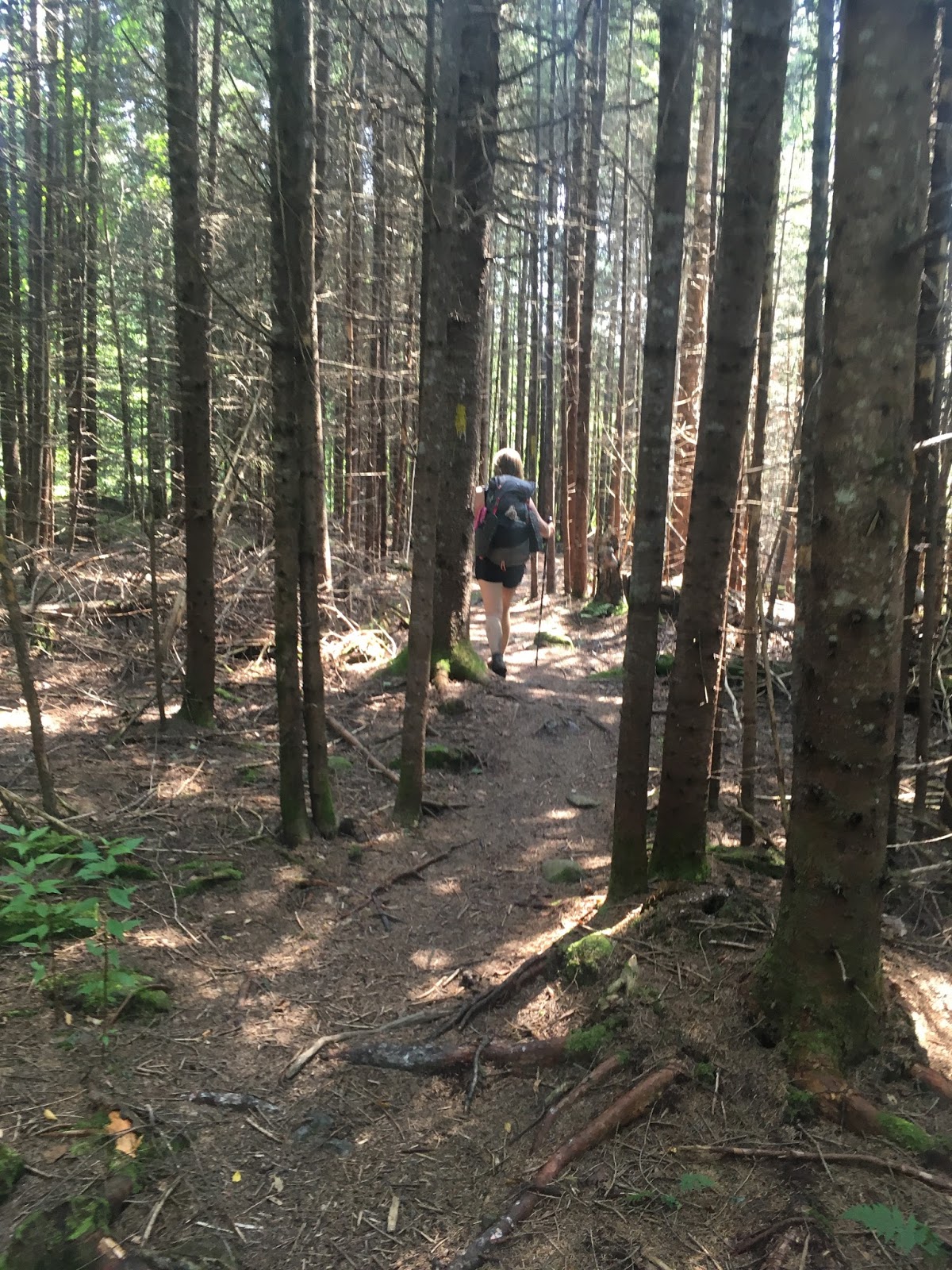
| Sage navigates |


 |
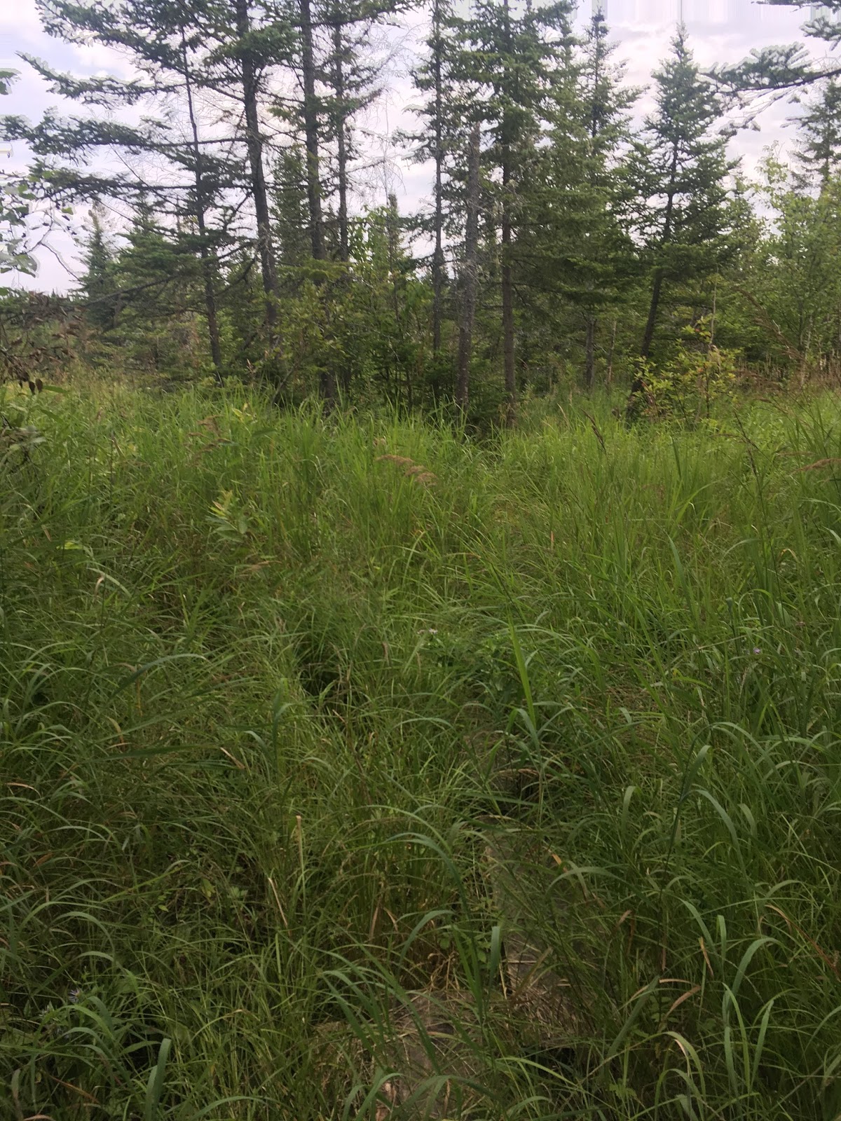
| The only weedy portion of our day |
Eventually, you pop out onto Sophie's Lane. Turn left to continue on the Cohos Trail and turn right to get back to Route 3 and enter Deer Mountain Campground. We turned right.

 |
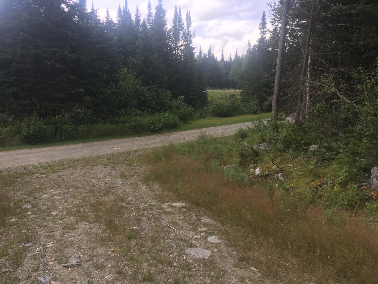
| Looking back on where we'd go tomorrow |
It's just a tenth of a mile or so to the campground. It's just on the left, right down the road.

We arrived, set up our tent for the evening, and checked in with the ranger. The ranger was a wonderful, kind fellow, and we enjoyed talking with him for a while. The rest of our evening was spent eating, hanging out, and relishing in the fact that we had only one short hiking day left ahead of us. The girls' shoes were all completely blown apart at this point, but miraculously Alex and Sage were still hiking just fine in them, and I had no doubts about them being able to finish the hike without optimal footwear.

We went to bed also happy that we could take our time in the morning; no up-at-dawn starts would be necessary for us to finish the trail in time to catch our prearranged ride with Nancy Spaulding.

I guess you didn't have any of the trail confusion I did in between Young's and Tillotson. There were definitely some spots there where turn blazes were needed, though.
ReplyDeleteIt's too bad logging has done that damage to Falls in the River Trail. That wasn't there when I hiked it. Moose Alley Trail was closed, and I could hear the logging there, but when I got to Fall in the River Trail I was past it.
We had no issues between Young's/Happy Corners and Tillotson, except in the initial section walking up the road, as mentioned in this blog. We felt the woods sections were well-blazed and we had no problems.
DeleteAs for the logging...I wouldn't be surprised if even more of that end of Fall in the River Trail is wiped out by now. :(